About Chamoli District
History:
During the British Raj, the area was maintained under the Dehradun and Saharanpur and formed a district named Pauri. After the Independence of India, it was upgraded into a new district named Chamoli in February 1960. The two districts and two blocks of Chamoli were integrated to form the Rudraprayag district.
Famous for?
Chamoli district is famous for its historical religious shrines and temples. It is the abode of god. Its natural beauty attracts tourists. Chamoli district is the birthplace of the Chipko movement which means it was started in the Chamoli district.
Area:
Chamoli covers a total area of 8,030 km², of which the geographical area covered by the district is 7,520 km². It is surrounded in the east by Pithoragarh, west by Almora, southeast by Bageshwar, southwest by Pauri Garhwal, and northwest by Uttarkashi. It is also touching the international boundary i.e., Tibet in the north.
Subdivision:
Chamoli district comprises twelve districts i.e., Dewal, Dasholi (Chamoli), Nandprayag, Ghat, Karanprayag, Narayanbagar, Joshimath, Pokhari, Thrali, Jilasu, Adi Badri, and Gairsain. Its headquarter is in Chamoli Gopeshwar.
Villages:
A total of 1244 villages are located in the Chamoli district, of which Bhainti village has the highest population.
Urban cities:
The Chamoli district comprises seventeen cities.
All District of Uttrakhand
About Haridwar
History:
On 28th December 1988, the district was a part of the Saharan..
About Bageshwar
History:
Bageshwar district was a portion of Almora district after Ind..
About Chamoli District
History:
During the British Raj, the area was maintained under the Deh..
| All Districts | ||
|---|---|---|
| About Champawat District | About Dehradun District | About Nainital District |
| About Pithoragarh District | About Rudraprayag District | |
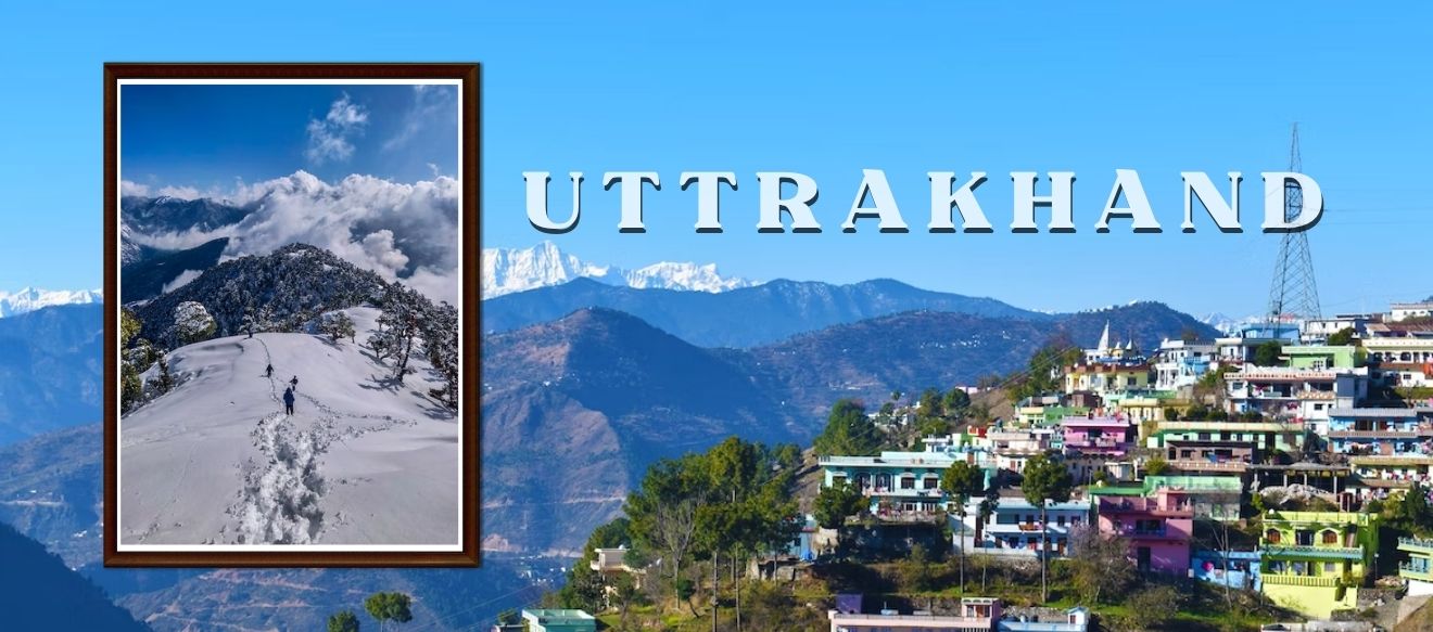
Tourist Places in Uttrakhand

Rishikesh Kuari Pass Sightseeing
Trekking to Kauri Pass begins with Joshimato, the hub of hikers and pilgrims. Quali Pastrek in wi..

Rudra Prayag Kartik Swami Sightseeing
Uttarakhand's Cartix Wami Temple is a sacred sanctuary with countless religious sites and exc..

Munsiyari Nanda Devi Trek Sightseeing
Trekking trails continue across vast meadows, deep valleys, historic villages, canyons, and high-..
Other State


All States